Tornado Chasers Headed to Wisconsin, Severe Storms for Illinois on Friday
It's been a wild week of weather, with many of us spending two consecutive nights in the basement with tornado sirens wailing over and over. But the threat of dangerous storms isn't over, with more severe weather expected on Friday (4/17).
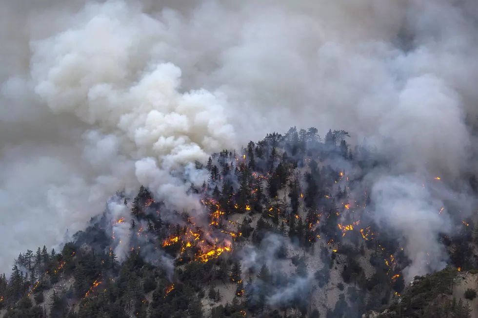
Dangerous Storm System Targets Northern Illinois Friday
The Stateline area is bracing for another round of volatile weather to begin the weekend, with a significant threat of severe weather expected Friday afternoon into the night.
RELATED: Dangerous Flooding Threatens Towns Along Illinois, Wisconsin Rivers
Latest predictions have the weather beginning to deteriorate around 4 pm CDT on Friday, with the strongest storms expected to impact areas along and west of Interstate 39, including Rockford.
The National Weather Service says this storm system carries a 3 out of 5 severe risk, with the potential for damaging winds, large hail, and isolated tornadoes. More heavy rainfall is also expected, with totals up to an inch possible, increasing the already high risk for localized flooding.
Morning Fog and Flooding Add to Friday Hazards
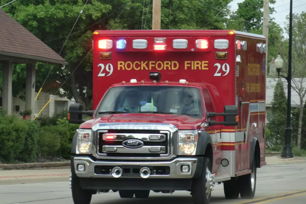
Commuters may be dealing with dense fog on Friday morning, causing hazardous travel conditions across northern Illinois. Reduced visibility, combined with wet roads, may complicate your drive as storms intensify.
Weather conditions may change quickly with little warning on Friday afternoon, so make sure you stay weather-aware throughout the day and keep our mobile app open for the latest updates.
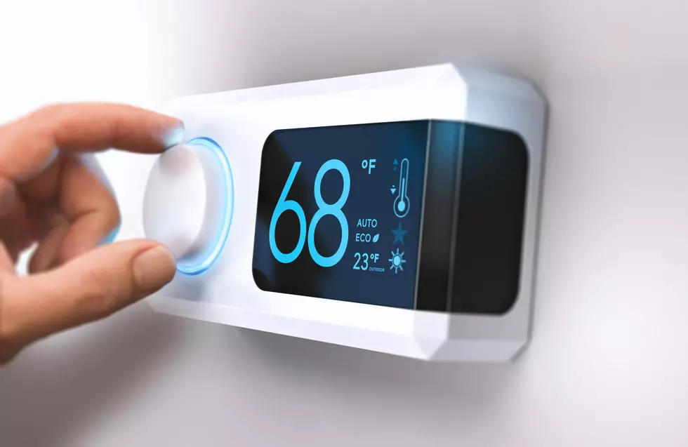
Temperatures Drop 50 Degrees Heading Into Weekend
After the Friday night storms roll through the Rockford region, there's going to be a significant temp drop. Overnight lows are expected to fall into the upper 30s, with gusty northwest winds bringing much cooler air into our region.

By Saturday night and into early Sunday, temperatures could dip near freezing, raising concerns for frost and potential damage to early spring vegetation. Daytime highs will struggle to reach 50 degrees through the weekend, even with sunny skies expected.
Tornado Chasers Are En Route to Wisconsin
Avoiding the path of a dangerous tornado is the goal of most humans, but there are a few who drive thousands of miles across America chasing funnel clouds during severe weather season.
One of the most popular tornado chasers on social media is the "extreme meteorologist" Reed Timmer, who has built a tank-like vehicle called the Dominator 3 that can withstand a direct hit from a twister.
Timmer recently posted on Thursday (4/16) that he and his crew were headed to Wisconsin to potentially intercept tornadoes on Friday.
TIPS: Here's how you can prepare for power outages
More From Rockford's New Country Q98.5