![Incredible Video of the Rochelle Tornado Storm Path By Air [Watch]](http://townsquare.media/site/723/files/2015/04/Storm_Track_Mark_Delhotal_Via_Youtube.png?w=980&q=75)
Incredible Video of the Rochelle Tornado Storm Path By Air [Watch]
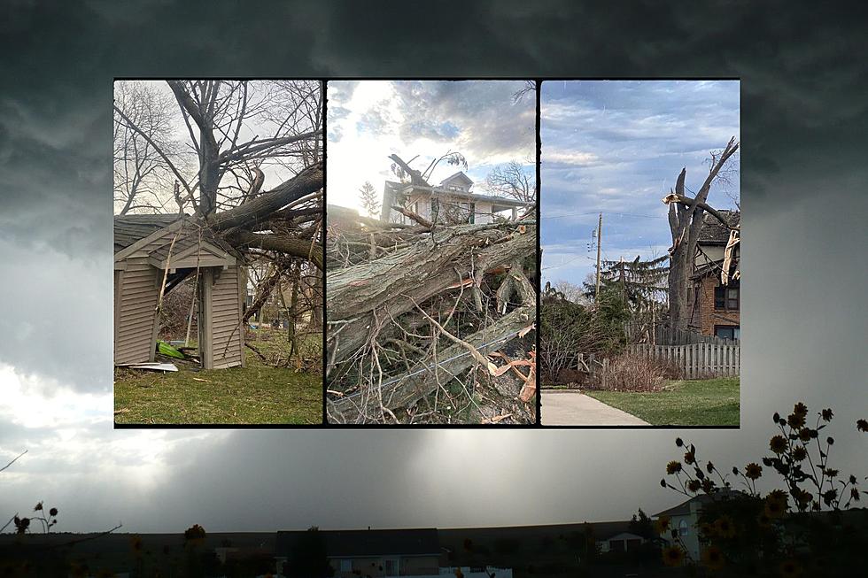
It is the absolutely amazing to see the devastation from Thursday's EF4 tornado from the air.
The 11 minute video traces the path of the tornado from northeast of Fairdale, IL to one mile northeast of Franklin Grove. The pilot, who posted the video says that he flew it in reverse due to the glare from the sun. It is flown from the Northeast to the Southwest. The first cluster of homes near the quarry is Fairdale.
Fairdale is the little cluster of houses seen at about 1:30 into this video. The road running up the middle of the screen is Highway 72, going west, right past Fairdale. At about 2:30, you can just see the twin cooling towers, at the Byron Nuclear Power Station, at the top right hand corner, along the horizon.
One Youtube commenter points out that video depicts the path of the tornado and the relationship of the destruction to the distance from the actual vortex
You can see and actually measure how and where the vortex deviated a bit here and there from traveling in a straight line, and how the vortex width at the surface changed along the path.
The perspective from the air is incredible to watch.
More From Rockford's New Country Q98.5