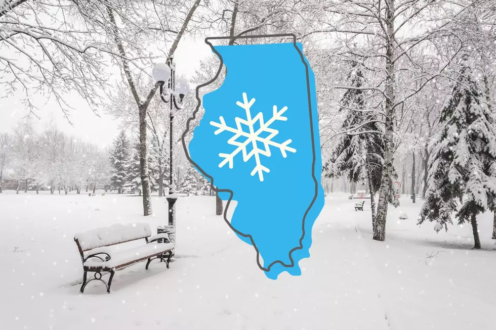
Major Valentine’s Day Snow For Illinois and Wisconsin with Over 10 Inches
UPDATED: 3:36 pm on Thursday, February 13, 2025
The National Weather Service has issued a Winter Weather Advisory for most of southern Wisconsin.
According to the NWS, the advisory will be in effect from Friday (2/14) at 4 pm through 6 am Saturday for a portion of southcentral Wisconsin.
The forecast is predicting a 2 to 3-hour burst of moderate to heavy snowfall that could bring 2 to 5 inches of accumulation in the advisory area, with lower amounts expected south of Madison, WI.
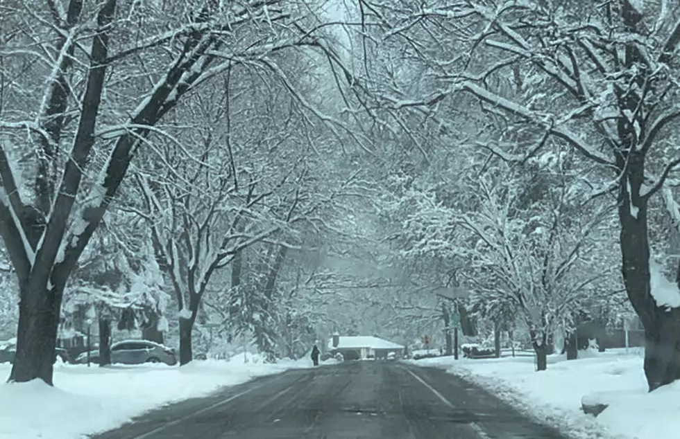
Snow is still piling up from Winter Storm Iliana, and now there's yet another round of winter weather this upcoming weekend that could bring even more significant accumulation.
According to the latest forecast from the National Weather Service, snow will start to diminish in the Rockford region early on Thursday morning (2/13), and then temperatures get brutally cold.
READ MORE: Here's How to Get Free Tax Prep Services in Illinois
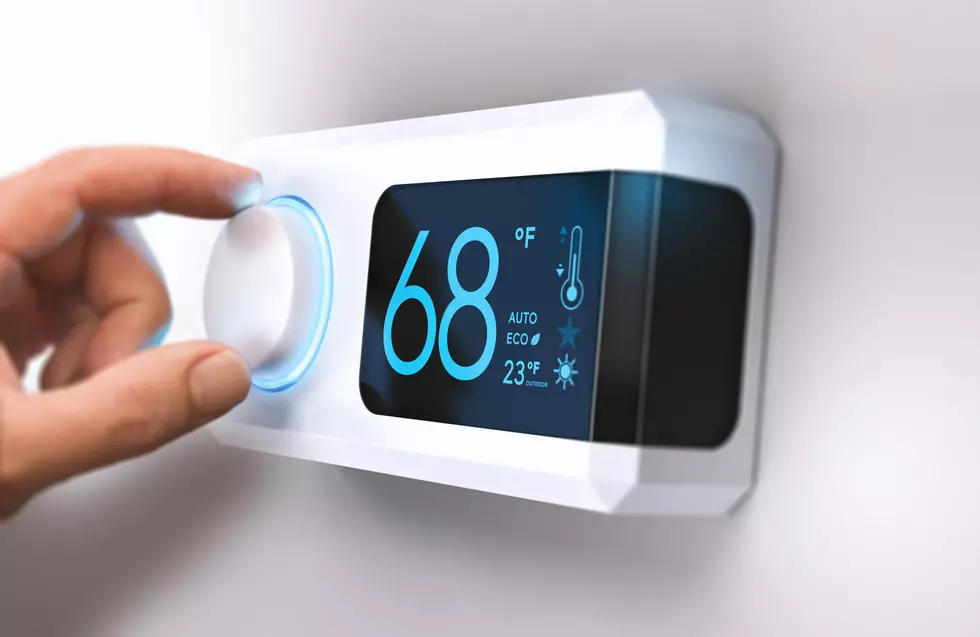
On Thursday, temperatures will be steady at around 13 degrees, and feels like temperatures are expected to be around -7. According to the latest Weather Channel forecast, the real temperature drops to -2 on Thursday night.
Snow Lovers Will Adore The Valentine's Day Weather Forecast
Another snowstorm moves in the Rockford region to begin Valentine's weekend with a 50 percent chance of snow in the afternoon on Friday (2/14) when the high is expected to be in the upper 20s.
1 to 3 inches of accumulation is possible during the day on Valentine's Day Friday, and the potential for up to 3 more inches of snow on Friday night when the low drops to 21, according to the latest Weather Channel forecast.
More snow is forecast for the Stateline on Saturday (2/15) when 1 to 3 inches of accumulation could pile up on top of what's already on the ground, and it's not melting anytime soon.
Snow and Bitter Cold in Forecast To Start Next Week
While Sunday (2/16) will be partly sunny and dry, temperatures will stay around 15, then drop to -10 on Sunday night.
Monday is President's Day with another chance of snow showers in the afternoon and a high temperature only making it up to 6, and more snow is possible Monday night when the low drops to -7.

According to the latest extended forecast from the Weather Channel, the next time Rockford will get above the freezing mark is Sunday, February 23.
LOOK: 50 cozy towns to visit this winter
Gallery Credit: Laura Ratliff
Offbeat adventures: Travel to the coolest hidden wonders in every U.S. state
Gallery Credit: Sandi Hemmerlein
More From Rockford's New Country Q98.5