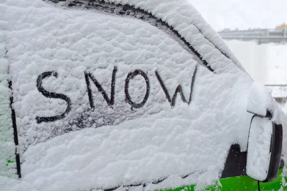
Accumulating Snow Possible For Rockford This Weekend
Rockford may have not experienced a white Christmas but there could be piles of snow by this weekend.
Multiple sources are forecasting unseasonably warm temperatures on Wednesday, leading to two storms heading toward northern Illinois. There's a chance for rain Thursday night into early Friday morning and rain/freezing rain/snow late Friday into Saturday. Mark Henderson, chief meteorologist at WIFR, says it's too early to predict snowfall amounts.
It's far too early to discuss accumulation amounts, other than to say some accumulation is certainly possible.
Here are the two possibilities for this weekend,
Should the storm take a slightly more southerly track, there may be less rain and more freezing rain or snow. A more northerly track may mean more rain and less ice and snow. These are details we'll monitor very closely in the days ahead.
The National Weather Service in Chicago is on board with Hendo's forecast. Both are on the same page over unfavorable travel conditions this weekend. However, we're still a few days out on getting an accurate weather outlook.
There is still high uncertainty with the track and strength of the storm system, which will ultimately dictate snow and ice accumulations and what areas are affected.
Keep an eye on the forecast if you're traveling this weekend. Always plan ahead and be safe.
JB Love is ½ of Q98.5's Lil Zim & JB In The Morning, weekday mornings from 5:00 a.m. to 10 a.m. Follow him on Twitter, Instagram.
More From Rockford's New Country Q98.5