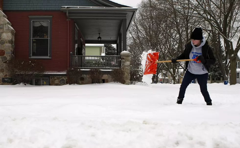
Stateline, Get Ready To Shovel Snow this Weekend
If you got holiday shopping to do this weekend, you may want to get it done before 4:00 p.m. on Saturday. Snow is coming, and now we know how much.
Of course the amounts could change between now and the weekend, but the Rockford and Stateline areas could get in on a one, two punch of snow starting Saturday evening.
The National Weather Service has issued it's preliminary snowfall estimate for Northern Illinois. A Winter Storm Watch is been issued for areas North of I-80. Here's what we can expect.
UPDATED SNOWFALL PREDICTION (as of 12/9/16 5:25 pm)
If you travel north of the border, here's what you can expect in Wisconsin this weekend
According to the NWS,
A winter storm watch was issued for areas north of I-80. Snow will begin across the region late Saturday afternoon and continue through Sunday night. Areas south of I-80 may see a mix of rain and snow Sunday afternoon, which will limit snow totals and create slushy roads. Low visibility and hazardous travel is expected area wide. Please monitor for forecast updates, and consider altering travel plans this weekend. Dangerous cold is possible mid next week.
Any snow that falls will stick around, The national Weather Service says that very cold temperatures will roll into the Stateline after the snows end late Sunday night/early Monday Morning. The snows we get on Sunday night could be more significant.
Round 1: Saturday Afternoon through Saturday Evening
-Light to moderate snow with a narrow band of heavy snow possible
Round 2: Sunday Morning into Monday Morning
-Potential for a larger storm system to bring moderate, possibly heavy snow
You will definitely need your shovels! Be prepared.
More From Rockford's New Country Q98.5