Winter Storm Warning is Issued for WI & IL [UPDATE]
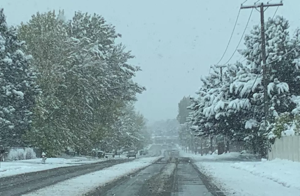
A mid-February winter storm is closing in on the upper-midwest that could dump more than 8 inches of snow in parts of northern Illinois and southern Wisconsin beginning late tonight (Wednesday 2/15).
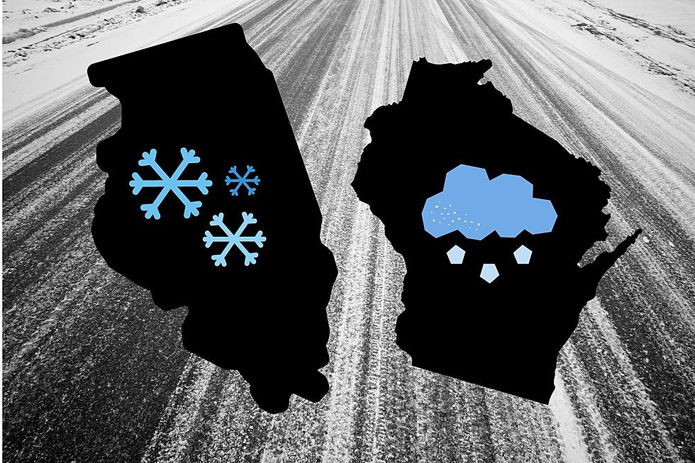
How much snow is expected on Thursday?
The latest forecast from the National Weather Service has issued a WINTER STORM WARNING for the Rockford region, heavy snow showers will begin to develop overnight tonight and continue through Thursday (2/16) with 4 to 7 inches expected by Thursday night.
Wind gusts could surpass 40 mph on Wednesday as the front moves through the region, with reading already reported early this morning at Rockford-Chicago International Airport close to 60 mph, according to WindAlert.

How much snow will Chicago get?
Around the Chicagoland area, 4 to 7 inches of snow accumulation is expected by Thursday night with windy conditions expected into the weekend.
Once the winter storm moves through, temperatures will remain in the mid-20s on Friday with mostly sunny skies before eventually rebounding into the lower 40s on Saturday.
Heavy snow is expected in Beloit, Janesville, and Madison
In Wisconsin, the snowfall amounts are expected to be more significant with a Winter Storm Watch in effect through Thursday evening (2/16). 5 to 8 inches of snow accumulation is possible in south-central and southeastern Wisconsin.
Higher amounts of snowfall are possible throughout Wisconsin with wind gusts around 35 mph possible.

Another potential snowstorm following Nova may be coming next week
According to the current forecast from the Weather Channel, there could be another 6+ inches of snow accumulation coming in the middle of next week.
The extended forecast from the Weather Channel currently shows a significant chance of heavy snowfall beginning next Tuesday (2/21) and continuing through Thursday (2/23) for the Rockford area with 1-3 inches possible each day.
To see the current roadway conditions throughout Illinois, CLICK HERE.
Wisconsin road conditions are available by clicking HERE.
LOOK: The most expensive weather and climate disasters in recent decades
Gallery Credit: KATELYN LEBOFF
LOOK: The most extreme temperatures in the history of every state
Gallery Credit: Anuradha Varanasi
More From Rockford's New Country Q98.5