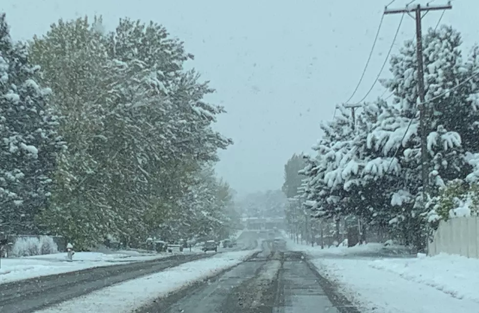
Storm Could Pile 6+ Inches of Snow in Wisconsin, Wintry Mix for Illinois
Before we can enjoy what hopes to be a great weather weekend ahead, there are a few days of rain and snow possible beginning Wednesday night, according to the current National Weather Service forecast.
High temperatures are expected to be in the middle 40s on Wednesday (2/8) with foggy conditions possible on Wednesday night along with rain, then overnight that will turn into a rain and snow mix on Thursday (2/9) for Northern Illinois.
Not much accumulation is expected in the Rockford region on Thursday, but the rain and snow mix will continue into Thursday night and snow into Friday (2/10)
In downstate Illinois, high winds could cause issues on Thursday (2/9) with a potential for gusts over 60 mph. A High Wind Watch will be in effect for areas south of Bloomington from Thursday morning through Thursday afternoon, according to the National Weather Service.
This winter storm will be a bigger snowmaker in Wisconsin where a Winter Storm Watch has been issued from Lacrosse to the Wisconsin Dells and will be in effect from late Wednesday (2/8) through Thursday evening.
4 to 6 inches of heavy wet snow accumulation is expected with even higher amounts possible in areas of central Wisconsin. Gusts of 35 mph or more could make travel hazardous and visibility difficult.
Thursday morning is expected to have the heaviest snowfall rates, according to the N.W.S.
Confidence continues to increase in a heavy snow band of 6 or
more inches from northeast Iowa into central Wisconsin. However,
there are uncertainties with the storm that could impact amounts
and location. -National Weather Service
If you're planning to travel, make sure you're checking current weather forecasts and road conditions before you grab some road.
CLICK HERE to see road conditions across Illinois. For Wisconsin, CLICK HERE.
LOOK: The most expensive weather and climate disasters in recent decades
Gallery Credit: KATELYN LEBOFF
KEEP READING: Get answers to 51 of the most frequently asked weather questions...
More From Rockford's New Country Q98.5

![Winter Storm Warning is Issued for WI & IL [UPDATE]](http://townsquare.media/site/723/files/2023/02/attachment-Snowstorm-graphic.jpg?w=980&q=75)