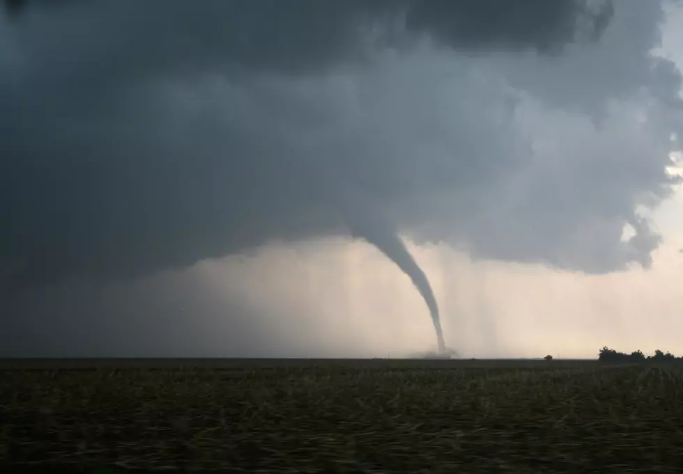
Rockford Could Get Blasted By Some Nasty Weather
I am no meteorologist but there is some nasty stuff heading our way. When I say nasty, I mean, rain, hail, tornadoes, and other undesirable mother nature activities. Here is what NOAA had to say about the matter...
   The NWS Storm Prediction Center has issued a

   * Severe Thunderstorm Watch for portions of
     Southeast Iowa
     Northern Illinois
     Far northeast Missouri
     Lake Michigan

   * Effective this Wednesday afternoon and evening from 355 PM
     until 1100 PM CDT.

   * Primary threats include...
     Isolated damaging wind gusts to 70 mph possible
     Isolated large hail events to 1.5 inches in diameter possible

   SUMMARY...Isolated severe storms may develop this evening along and
   south of a slow-moving cold front. Hail and wind are the primary
   hazards.

   The severe thunderstorm watch area is approximately along and 60
   statute miles north and south of a line from 50 miles south
   southwest of Cedar Rapids IA to 60 miles east northeast of
   Marseilles IL. For a complete depiction of the watch see the
   associated watch outline update (WOUS64 KWNS WOU3).

   PRECAUTIONARY/PREPAREDNESS ACTIONS...

   REMEMBER...A Severe Thunderstorm Watch means conditions are
   favorable for severe thunderstorms in and close to the watch area.
   Persons in these areas should be on the lookout for threatening
   weather conditions and listen for later statements and possible
   warnings. Severe thunderstorms can and occasionally do produce
   tornadoes.
PLEASE, take this seriously and prepare for the worst!
More From Rockford's New Country Q98.5