April Snowstorm? Significant Snowfall Possible in Rockford on Wednesday
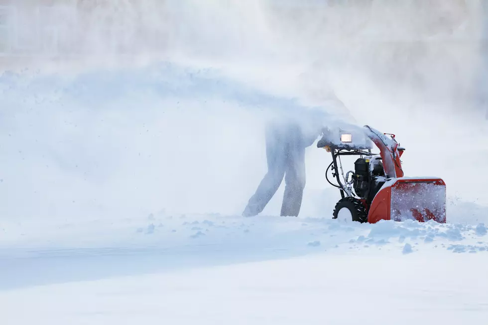
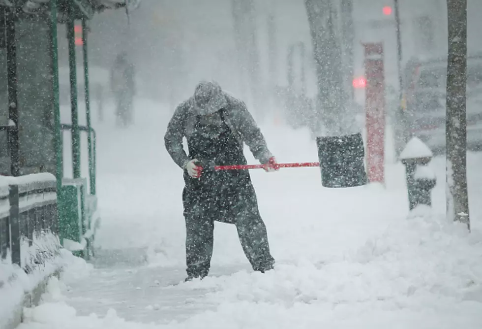
So, you put away your winter snow shovel, packed away the road salt and snowblower. Not so fast, Rockford could be in for a lot of snow Wednesday night through Thursday.
Rockford made it through January, February and March with barely enough to shovel, but for April, parts of the Stateline could see as much as 9 inches of April snow, if a weather system, expected to make it's way through Northern Illinois and Southern Wisconsin, holds together.
A computer animation from NBC 5 Chicago of the North American weather model predicts the snowfall totals on Wednesday night into Thursday morning could be in excess of 5 inches for much of the Stateline.
- Rockford: 7.1"
- Janesville: 9"
- South Beloit 8"
- Belvidere: 6"
- DeKalb: 4.6"
- Freeport: 8"
(Watch the FULL animation)
On the other hand, the alternate Global Weather Model indicates substantially less snow is expected due to a lack of cold air.
- Rockford: 1.6"
- Janesville: Less than an inch
- South Beloit: less than an inch
- Belvidere:1.5"
- DeKalb: 2.3"
- Freeport: Less than an inch
Now keep in mind things can indeed change. The weather system could shift north or south between now and Wednesday night. If the temperature warms or cools, the amounts of snow could go up or down sharply.
Rockford is no stranger to late season snowfalls, in fact, the highest April snow Rockford ever received happened on April 18, 1912, when 7 inches fell.
BONUS VIDEO: The Worst Train Crossing In Illinois is in Belvidere
More From Rockford's New Country Q98.5