Mild Weather Continues for Rockford, But Here’s When First Snow Could Fall
So, have you turned your furnace on yet? It's been just cold enough at night that you need the heat to take the chill out of the house, but then temperatures during the day are still warming up into the 70s.
While it seems like we're slowly easing our way into Winter, we actually could be getting snow any day.
Unseasonably Mild Weather Continues, For Now
Forecasts from the National Weather Service are pointing to a stretch of unseasonably mild temperatures into late October for the Rockford region, with afternoon highs expected to be in the upper 60s to mid-70s through early next week.
Extended forecasts have temperatures remaining in the 60s until the end of October, but as we get closer to November, dramatic weather changes are possible for northern Illinois.
First Snowfall is Closer Than You Expect
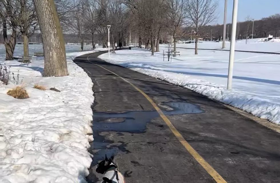
Just because we're in the 70s and Sunny through this weekend, don't rule out a sudden transition to colder temperatures as the calendar flips to November, because our first average snowfall could only be a few weeks away.
The National Weather Service's 1991-2020 climate normals predict the average first trace of snow occurs on October 31, Halloween. Many of us remember not long ago having to take the kids out to get candy in their costumes while wearing snow boots.
The average date for a measurable snowfall of at least one-tenth of an inch is November 20, so we're less than a month out. Heavy snow has arrived much earlier in the Stateline, with the earliest measurable snowfall happening on October 12, and the earliest trace of snow happening on September 25, 1928.
Last Year's Snow Season Got Off to a Historic Start
In 2025, Winter arrived in a hurry, with 17.1 inches of snow recorded by December 7, which matched the city's entire snowfall total for the previous winter (2024).
According to the National Weather Service, Rockford had the snowiest start to the season last year since reliable weather records began in 1905.
KEEP READING: Get answers to 51 of the most frequently asked weather questions...
More From Rockford's New Country Q98.5