Detailed Illinois and Midwest Maps of Path of Solar Eclipse Released
With less than two weeks to go before the biggest celestial event to come to Illinois, NASA has released detailed maps of the path of the solar eclipse.
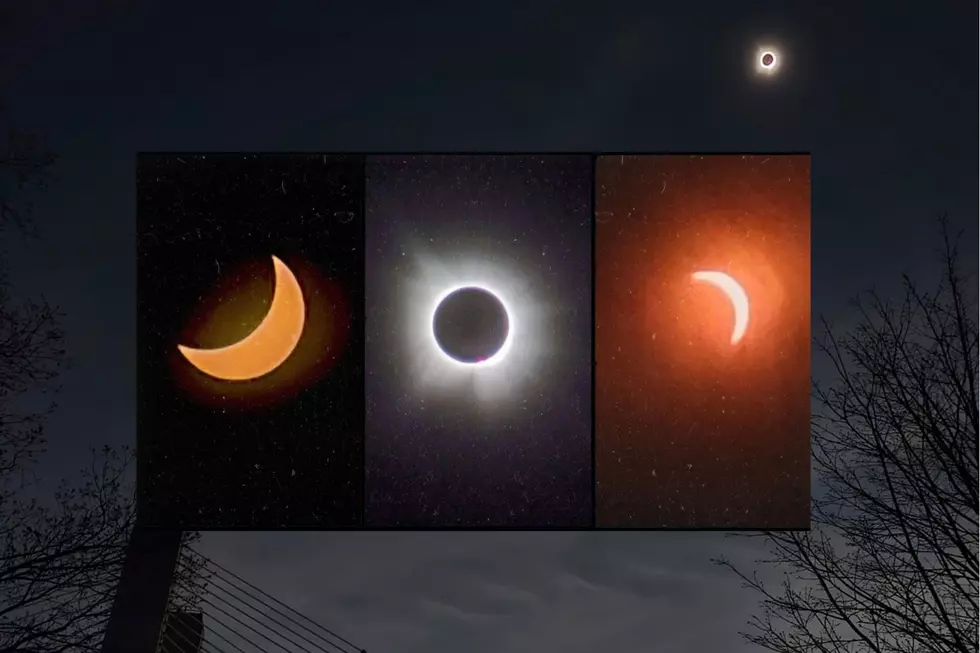
August 21st is going to be a very busy day in Carbondale, with the first total solar eclipse in the continental U.S. since 1979. It's been 38 years since the February 26, 1979 eclipse.
If you are standing in the right spot, you will witness 2 minutes and 30 seconds of darkness, weather permitting. With that in mind, the Carbondale area is expected to be a madhouse on August 21st. So, why not head somewhere else?
The eclipse will not only touch Illinois, here in the Midwest, but also portions of Missouri and Kentucky. NASA has just issued detailed maps of the areas you'll be able to witness this once in a lifetime celestial event, so you don't have to be in Carbondale, other Illinois options include Chester, Cobdon, Anna, Vienna, Goreville or Rosiclare.
In Illinois:

In Missouri:

In Kentucky:

The solar eclipse will occur from 1:18 pm - 1:24 pm in Southern Illinois, depending on your exact location.
In Rockford, we will be able to witness a partial solar eclipse that will cover over 80% of the sun. The eclipse will begin at 11:51am, peak at 1:21pm, and end at 2:39 pm on August 21st.
Catch Mark Charvat on Q98.5 from 3 p.m to 7 p.m.. Follow him on Twitter, and Facebook
More From Rockford's New Country Q98.5