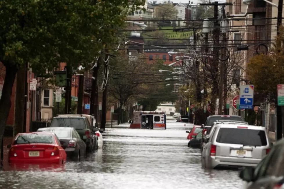
Flash Flood Watch Issued for Northern Illinois and Southern Wisconsin
The next 18 hours could be very wet.
A Flash Flood Watch has been issued by the National Weather Service until 1 p.m. Wednesday for all of northern Illinois and southern Wisconsin. A "watch" means that conditions are favorable for flash flooding.
Strong thunderstorms are forecast and will be capable of producing torrential downpours. Storms are expected to move into the Stateline late this evening and continue through tomorrow morning. The National weather service predicts rainfall totals possible from 2 inches to upwards of 5 inches.
A Flash Flood watch means that conditions are favorable for flash flooding, and the other is a flash flood warning, meaning that a flash flood is occurring or one will occur imminently and is usually issued when there are strong weather radar echoes for an area that is prone to flash flooding.
Check in with our Q98.5 Weather Page for updated weather information and current radar maps 24/7.
If you live near a river, small steam be extra caution. If you in your car, do not drive into flooded roadways.


